From OD data to agent-based-modelling for car-free futures
9 March 2022, Transport Data Science seminar
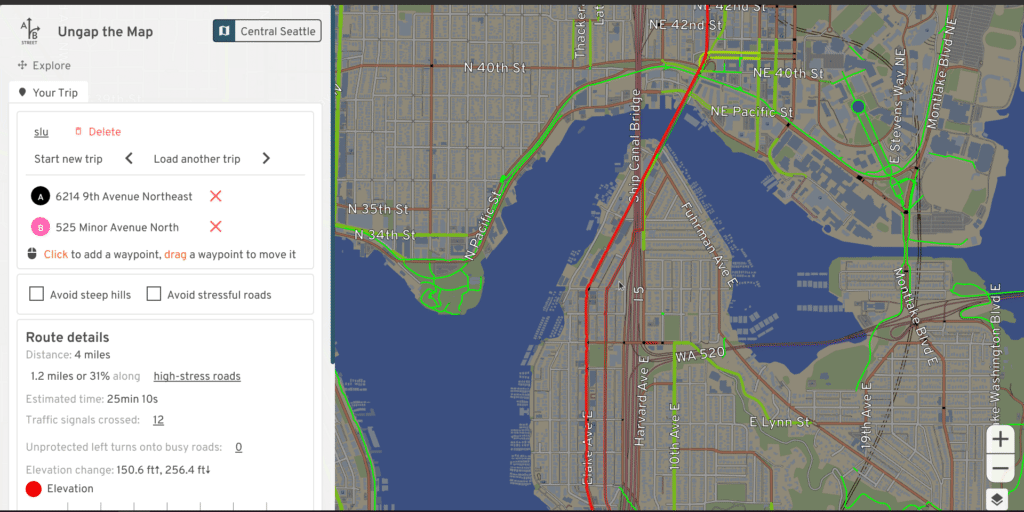
Squeeze detail out of OpenStreetMap
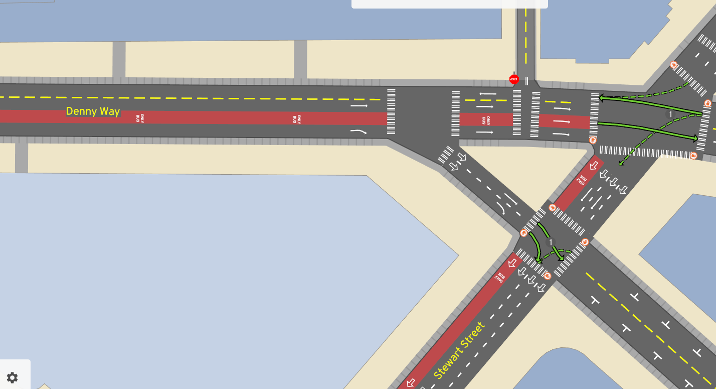
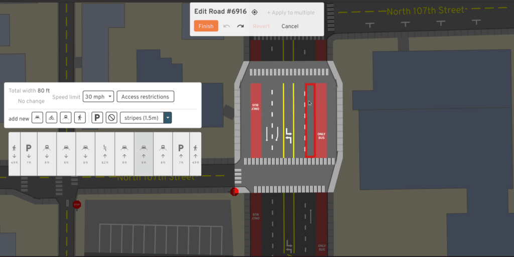
Edit the infrastructure
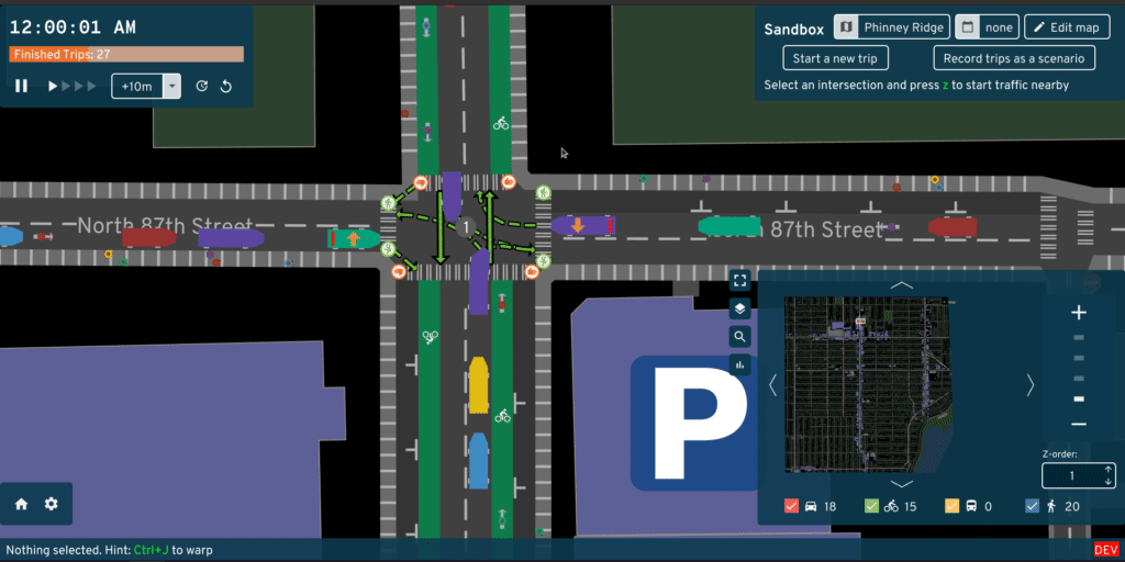
Simulator
Plan bike networks
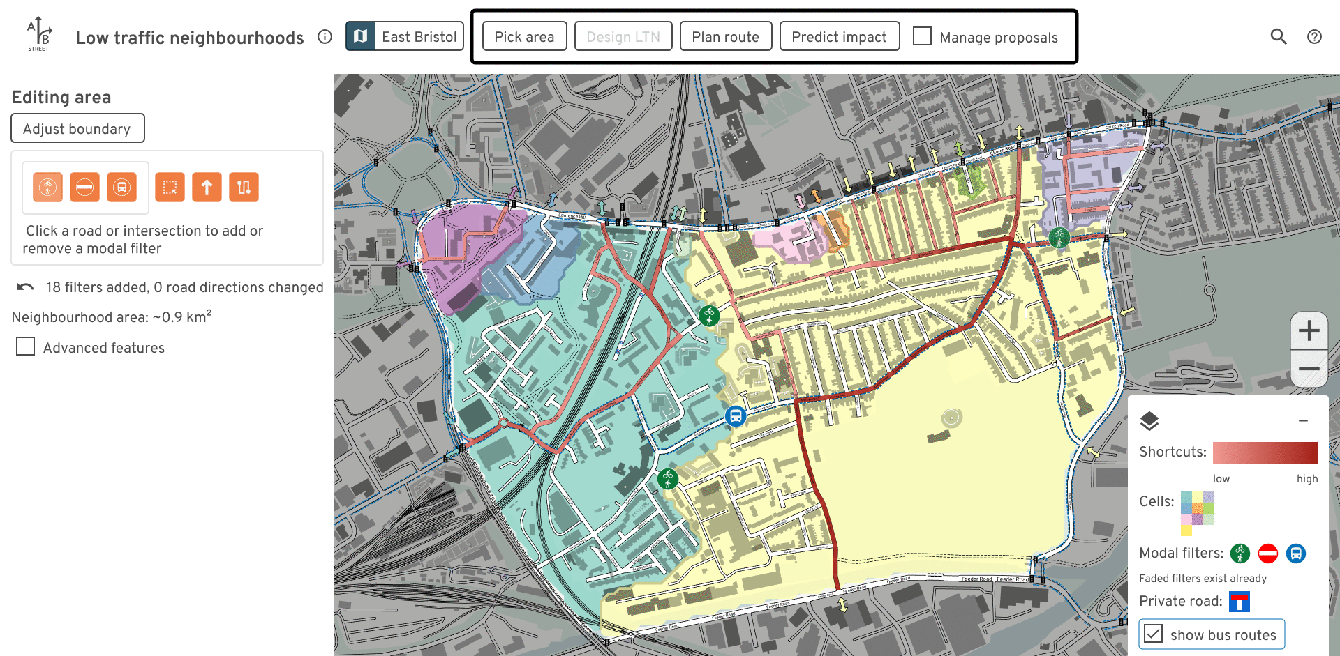
Low-traffic neighborhoods
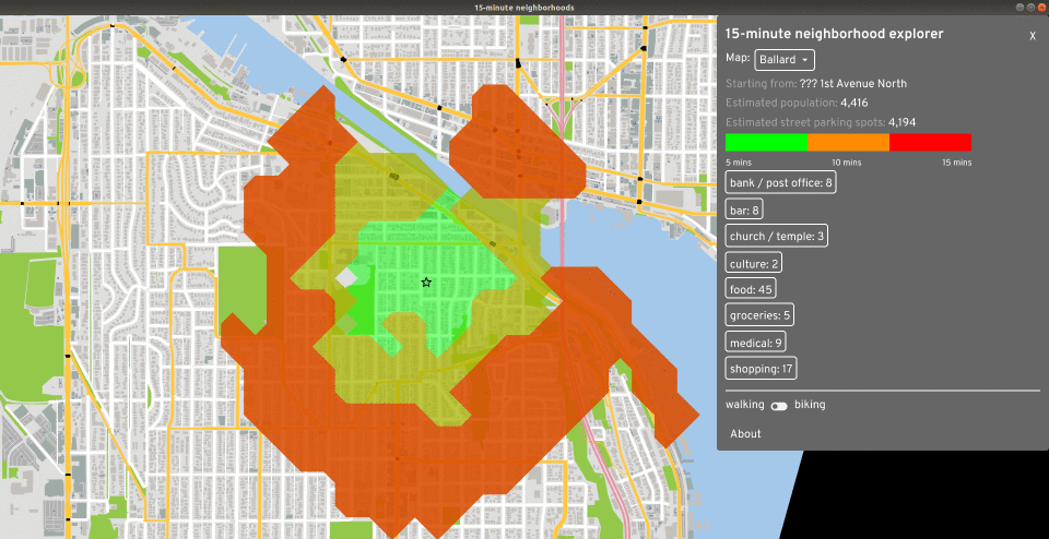
15-minute neighborhoods
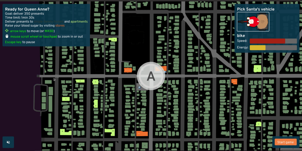
Arcade game, “edutainment”
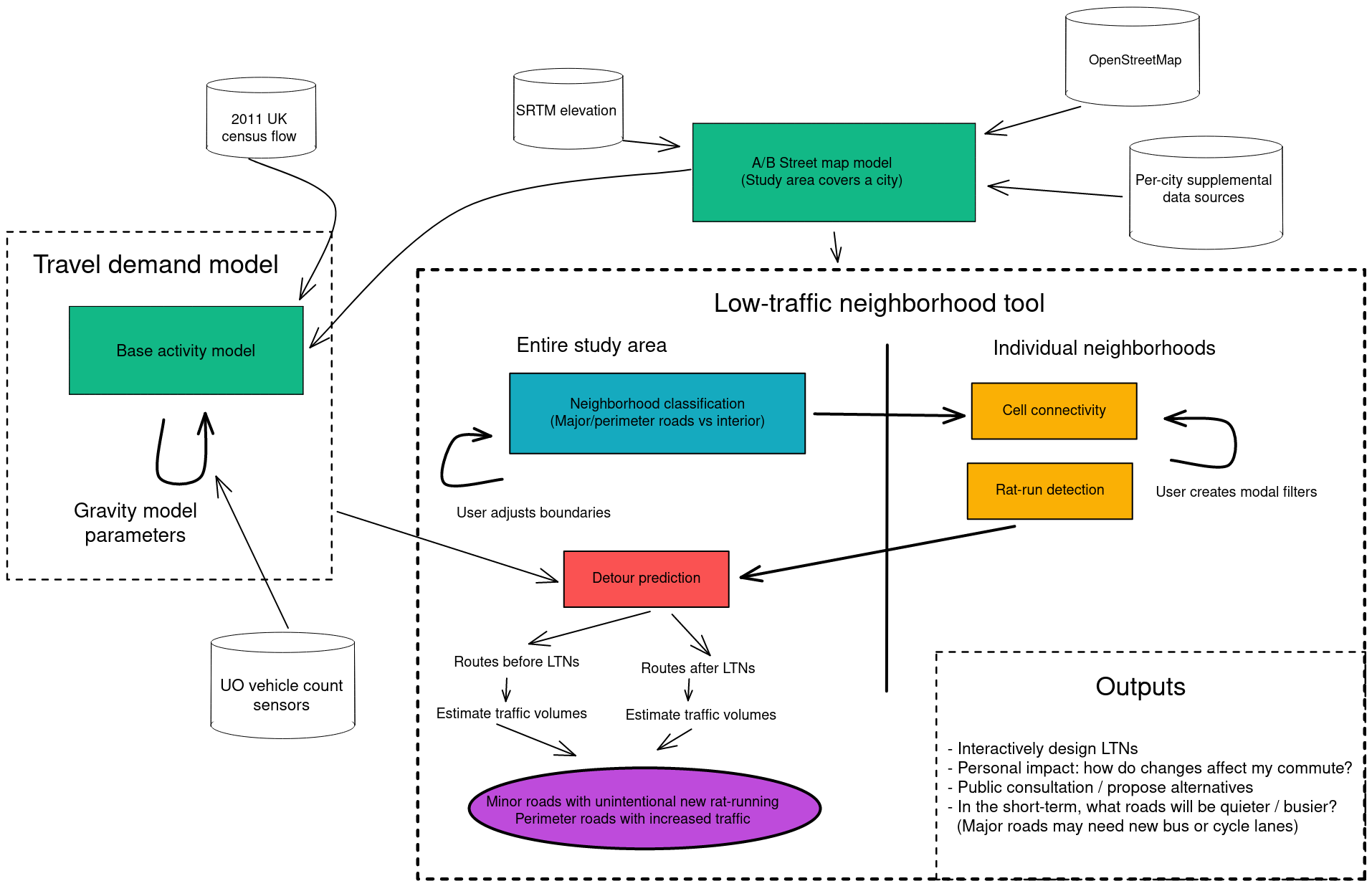
Architecture

Architecture
Part 2: Demand model overview

Input data
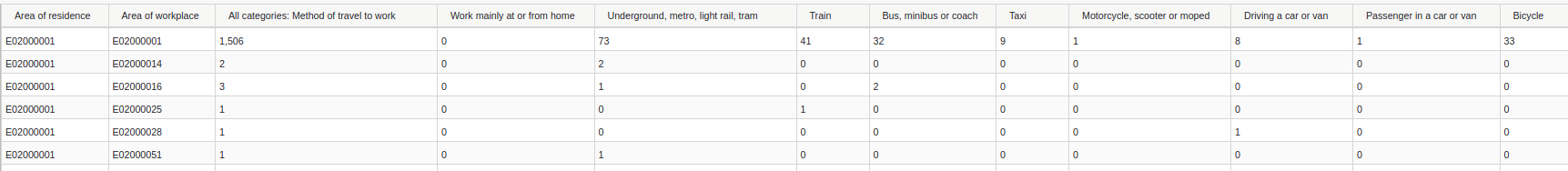
wu03ew_v2: 2011, Location of usual residence and Place of work by Method of travel to work- Old, pre-pandemic
- Only home -> work
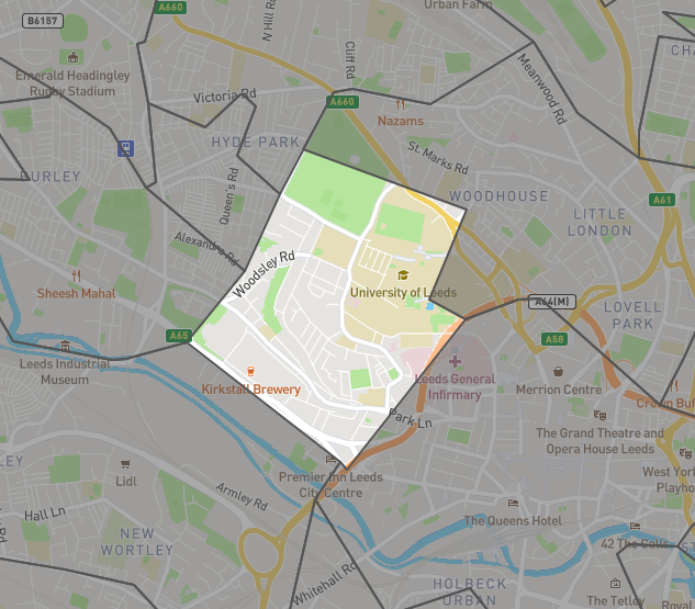
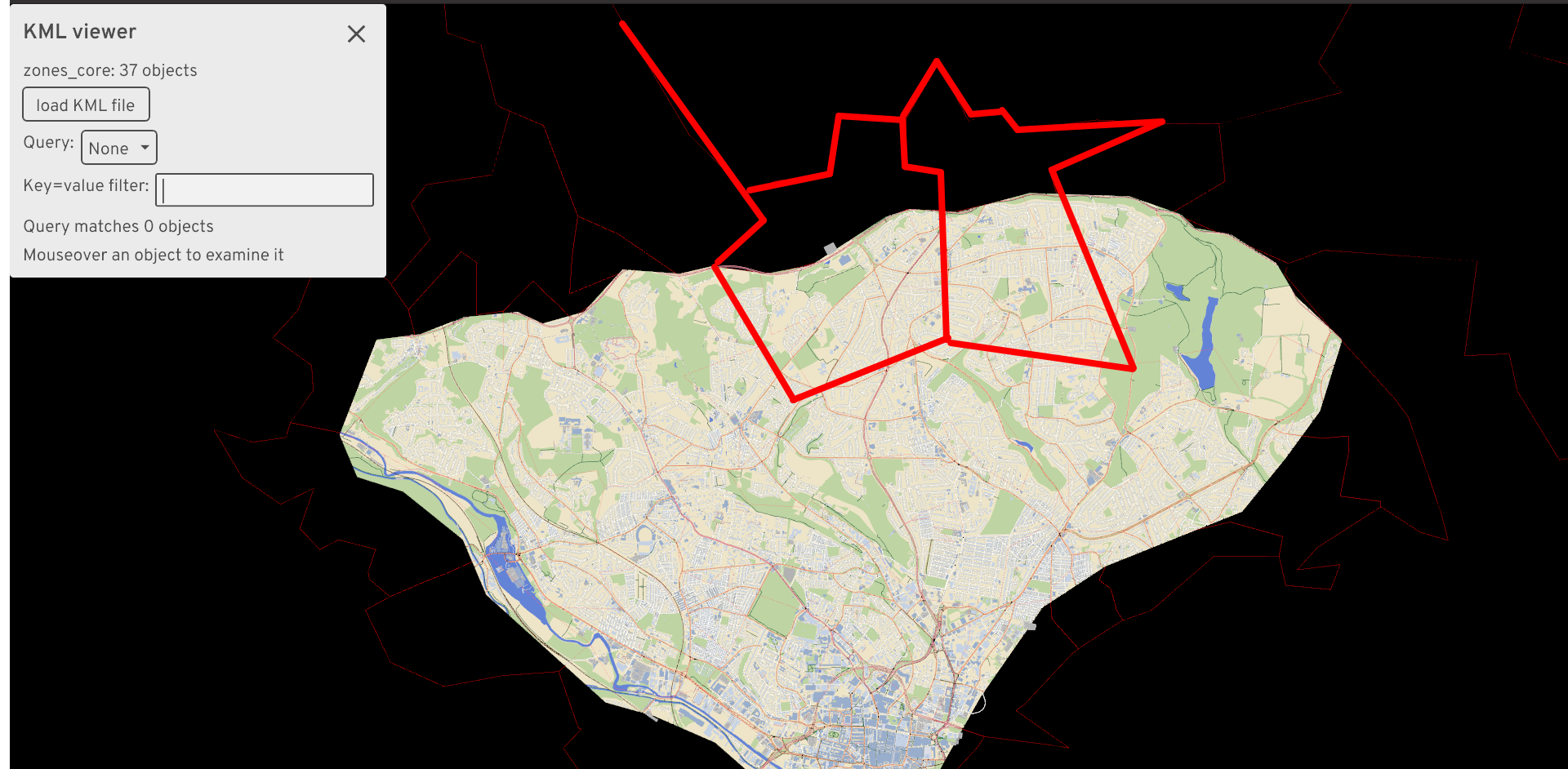
Input data: MSOA zones
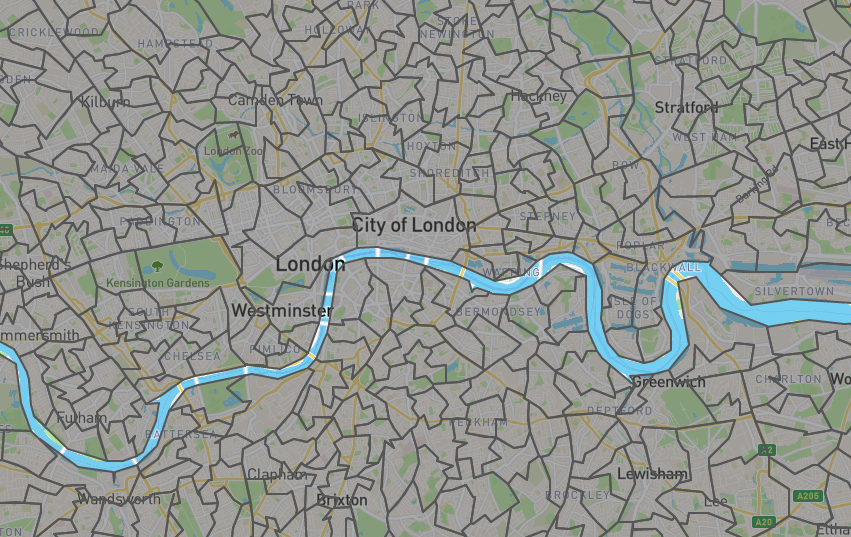
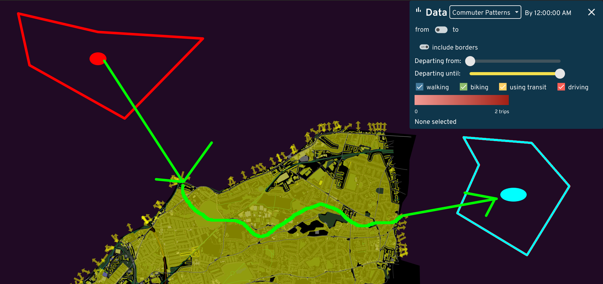
Desire line
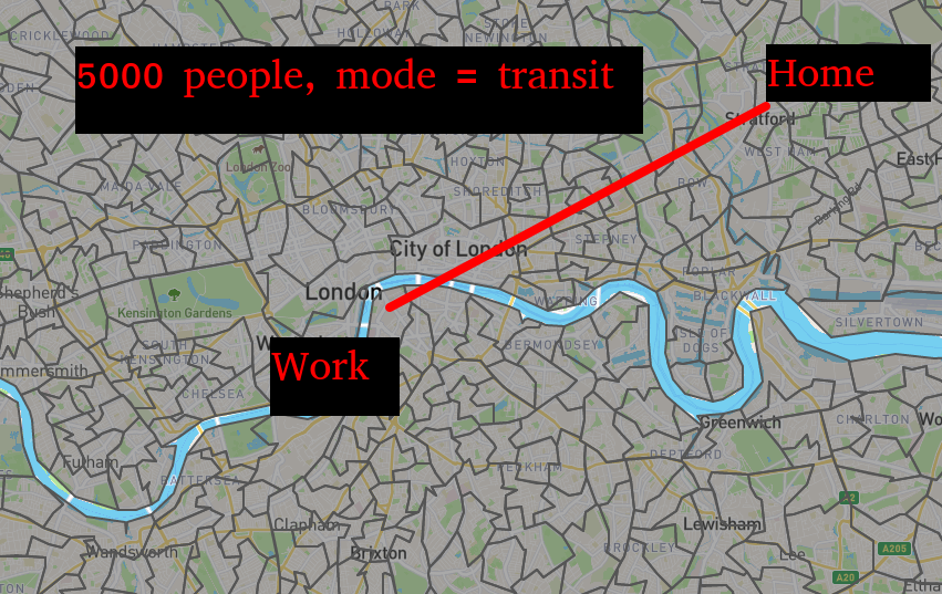
Overall idea
Home 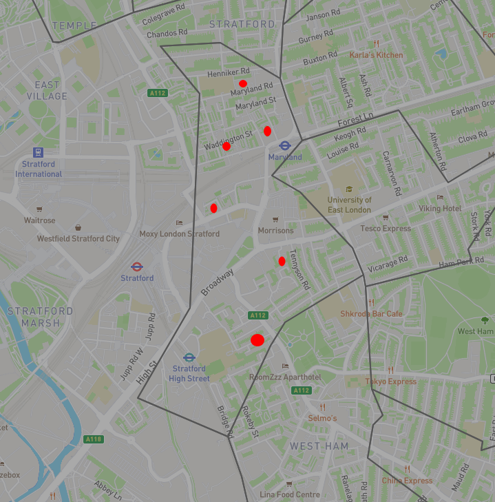
Work 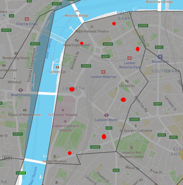
Jittering: sampling an origin or destination
- Just inside the study area
- odjitter
- Random points?
- Origins: buildings where people live
- Destinations: buildings where people work
Buildings from OpenStreetMap tags
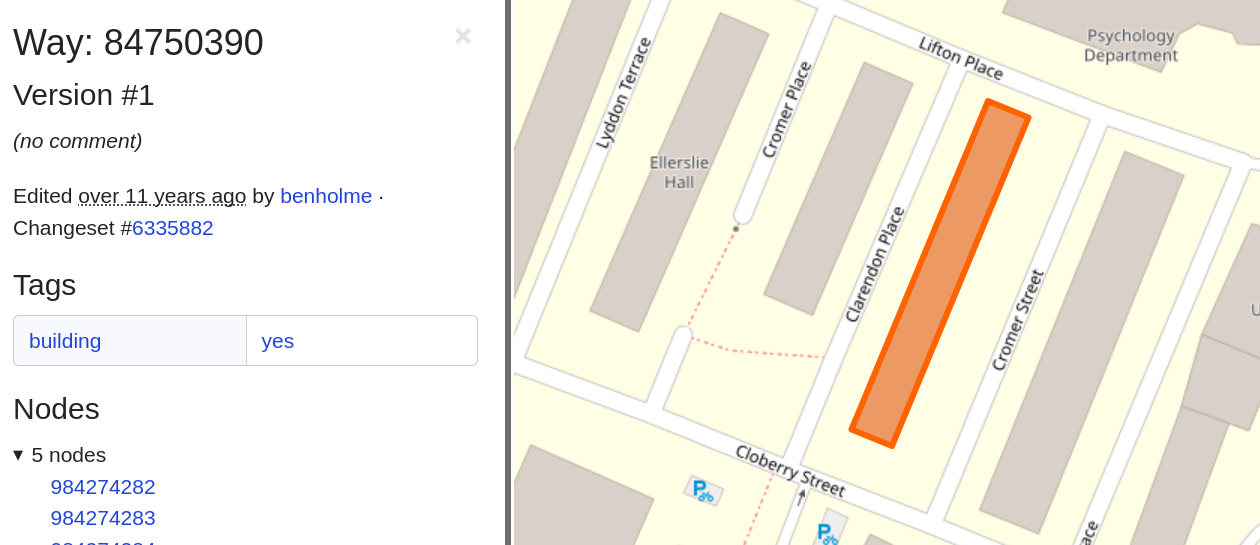
- Building type is rarely tagged
- https://taginfo.openstreetmap.org/keys/building
Buildings from OpenStreetMap tags
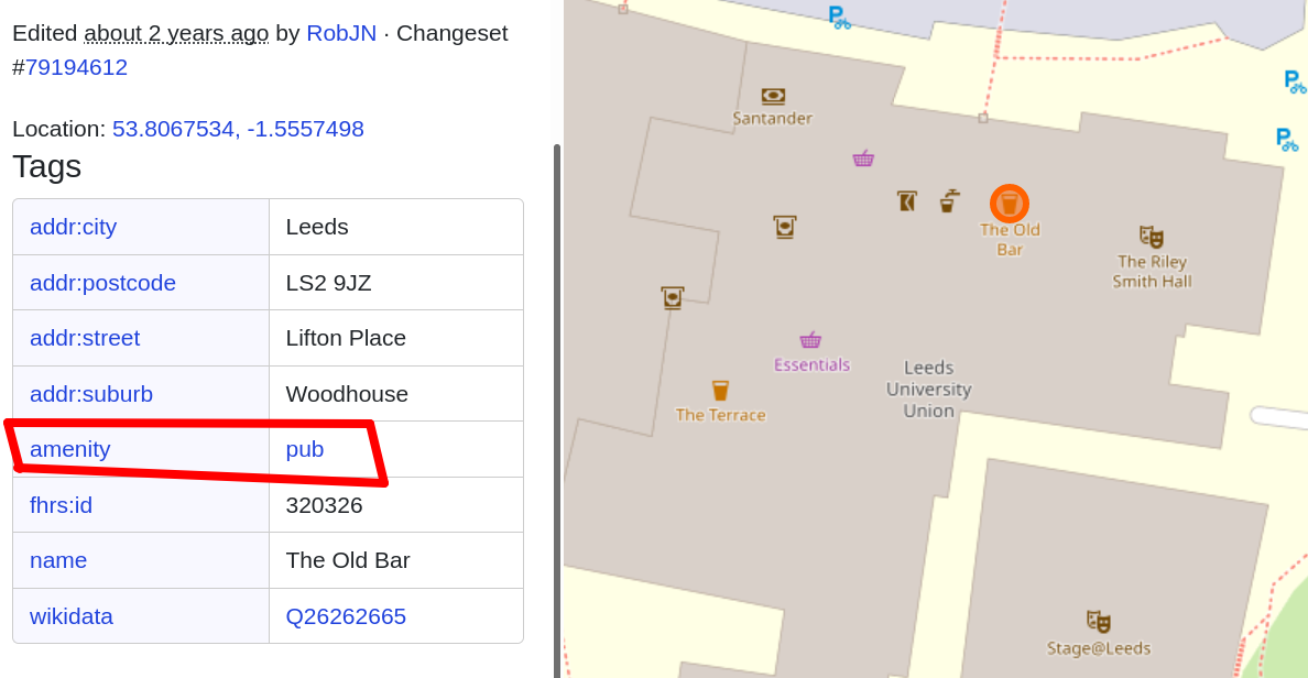
- Make sure your library gives you the right data,
building=shop - Just look at the data in OSM
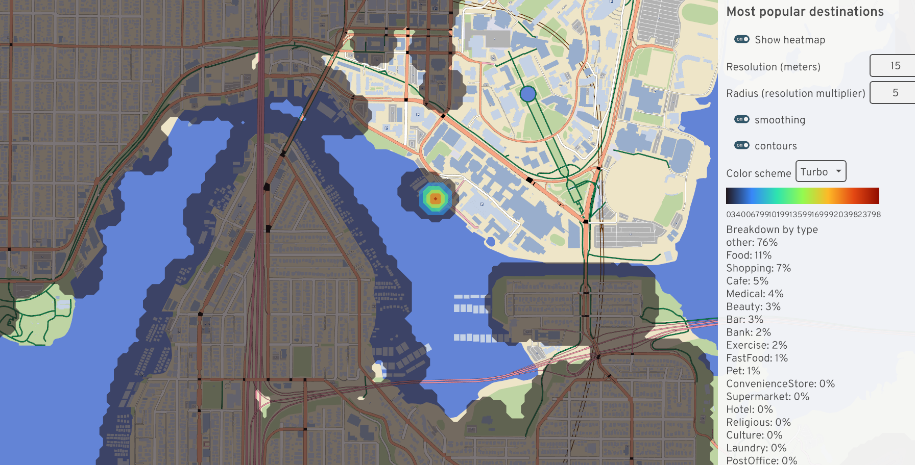
Trip attractor tables (for destinations)

- cafe vs shopping mall
- Trip attractor table
- ITE publishes one
Aside: missing buildings in OSM

- https://www.openstreetmap.org/#map=14/51.5318/0.1192
- OSM isn’t perfect, check your data
- Procedural generation
- limitations
- Alternate data: OS building footprints (ZoomStack), OpenAddresses
Study area size
- We can’t just keep expanding our study area forever
- Some trips will begin or end off-map
- Use % overlap to scale number of trips
Jittering when out-of-bounds
- We don’t know off-map buildings
- Snap to a border
- Nearest Euclidean distance?
- Weight by road type?
Jittering when out-of-bounds
- Quickly pruning desire lines
- Or just do pathfinding on a larger map?
Popping the stack
Popping the stack
Home
Work
Re-aggregating
Even Soundcast isn’t meant for this level of disaggregation
Notes
./cli generate-houses \
  --map data/system/us/seattle/maps/montlake.bin \
  --num-required 1 \
  --output houses.json