Map model from scratch
12 March 2022, FOSSGIS OSM-Samstag
Intro

Straßenraumkarte Neukölln changed everything for me
About me

- A/B Street since 2018
- Alan Turing Institute since December 2021
A losing battle
https://a-b-street.github.io/docs/tech/map/geometry/index.html
Part 1: Why
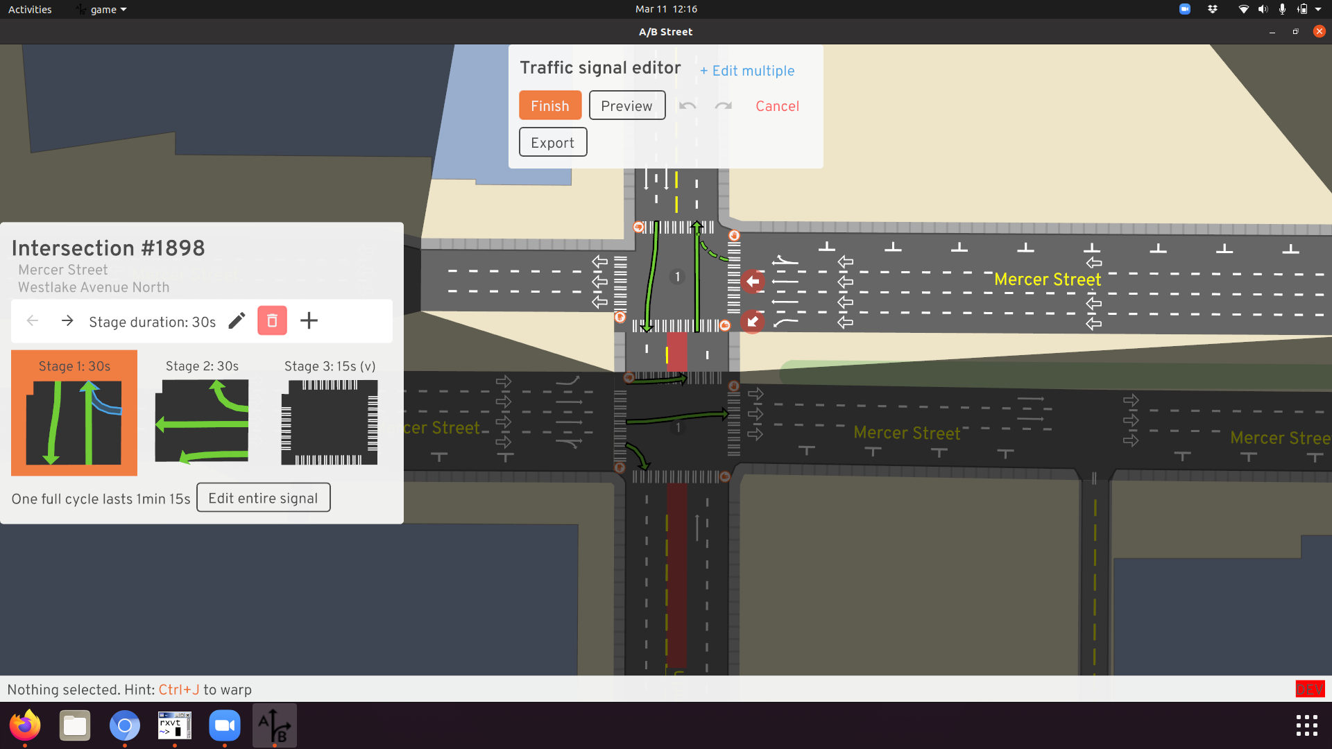
In A/B Street
Does it really have to be so complicated?
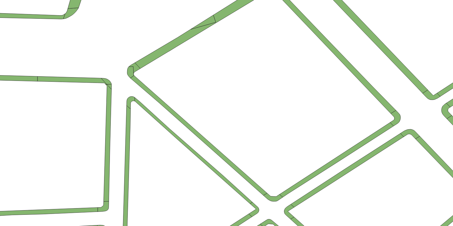
Arbitrary modeling choices
- Can’t represent middle of road at splits/joins
Arbitrary modeling choices
- What’s the speed limit, name, or highway classification of the tiny inner segments?
CAD

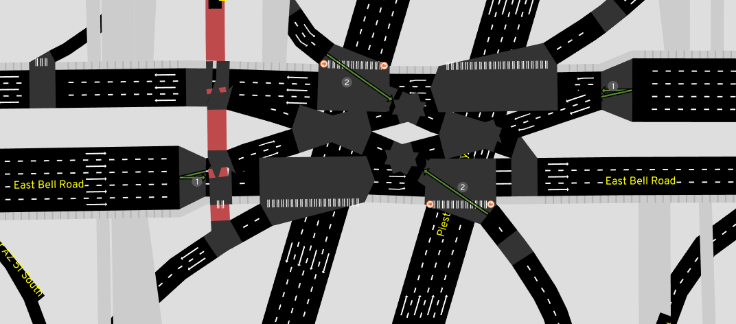
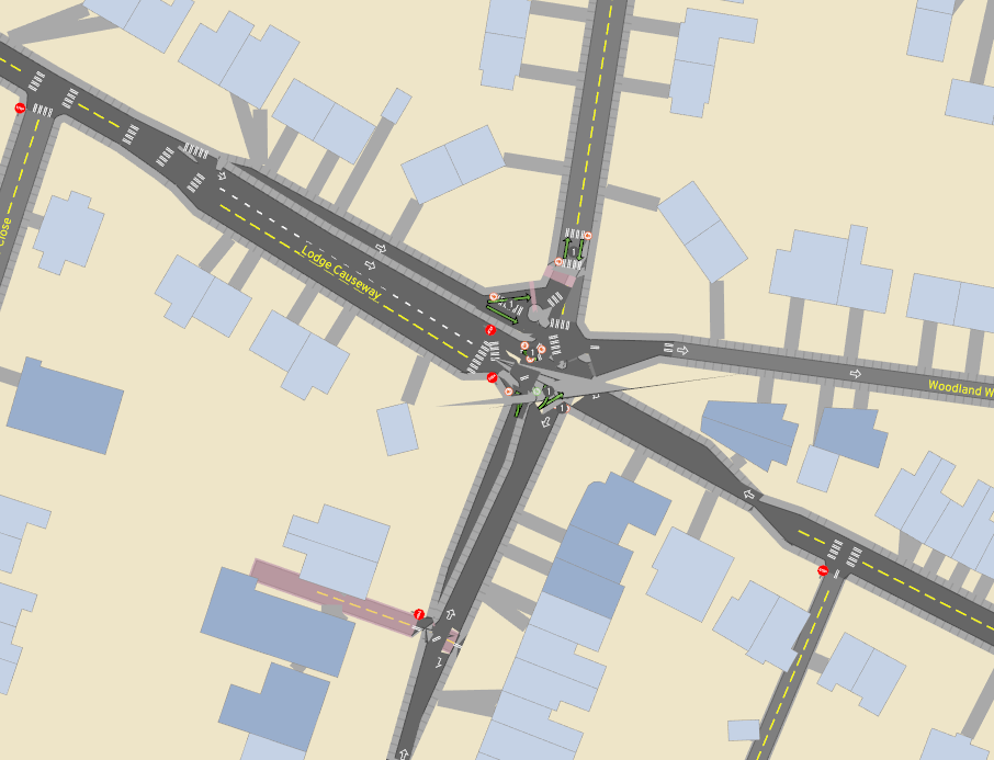
Traffic simulation
- Understand a junction as one logical object for signal timing, turning movements
Does anybody in industry care?
- HD mapping companies, autonomous vehicles
- Remix (https://nyc25x25.org/brooklyn.html)
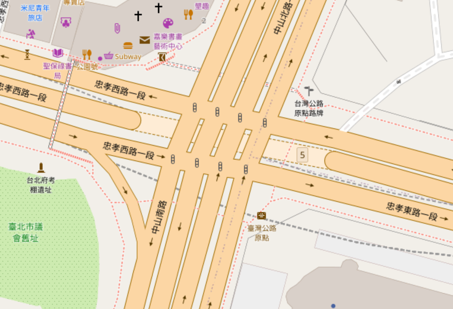
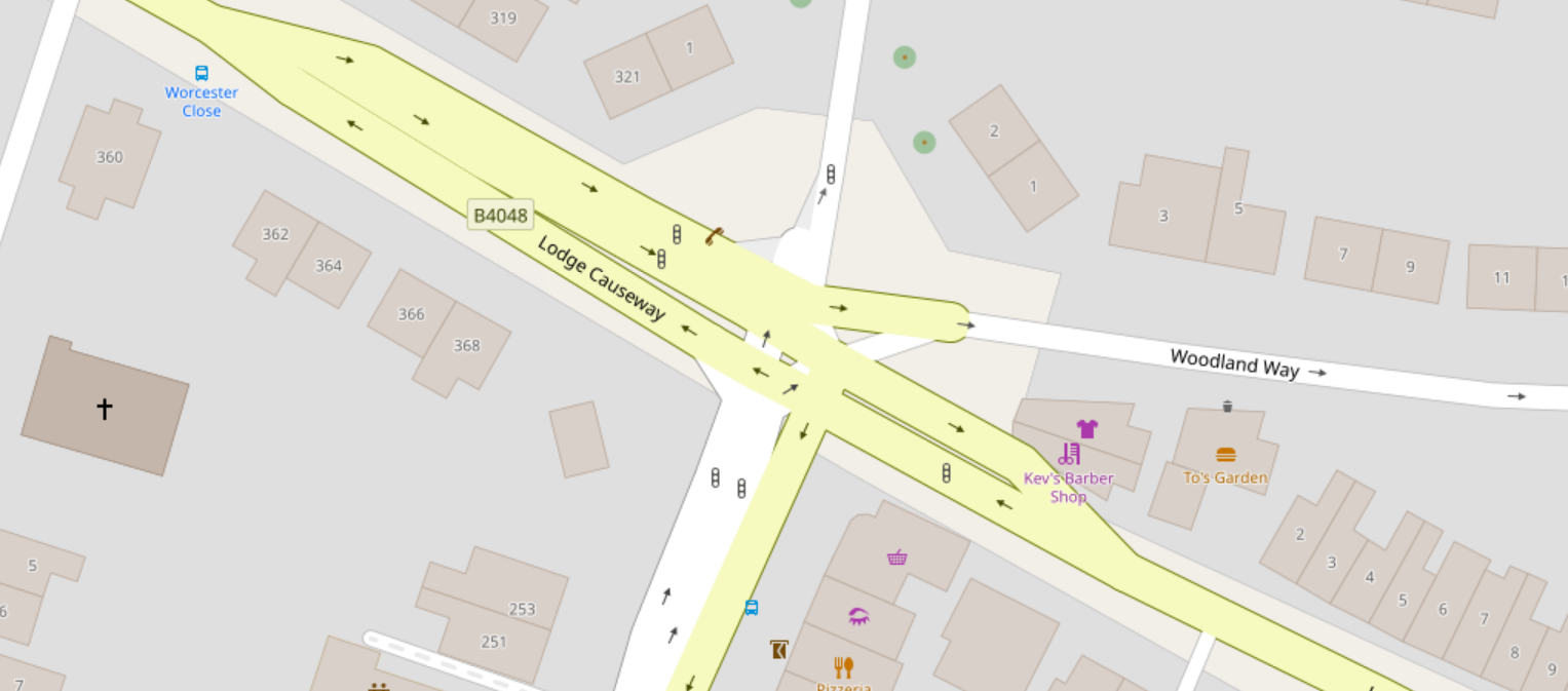
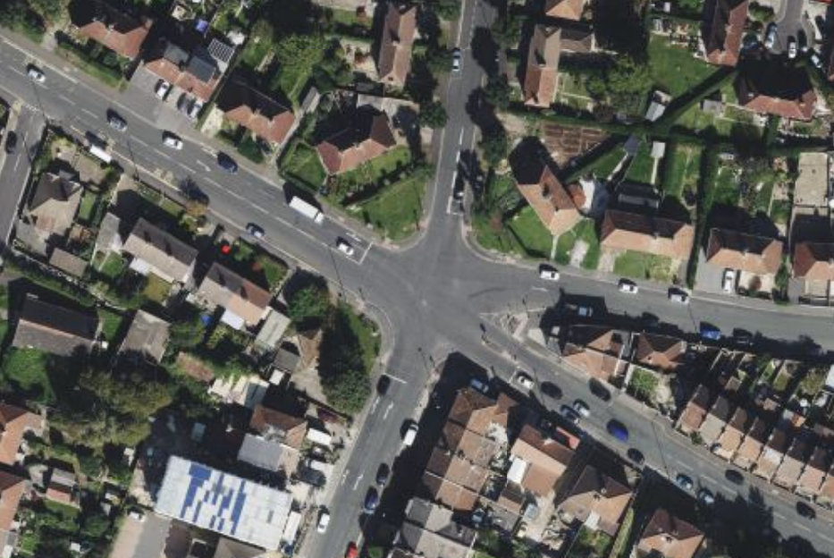
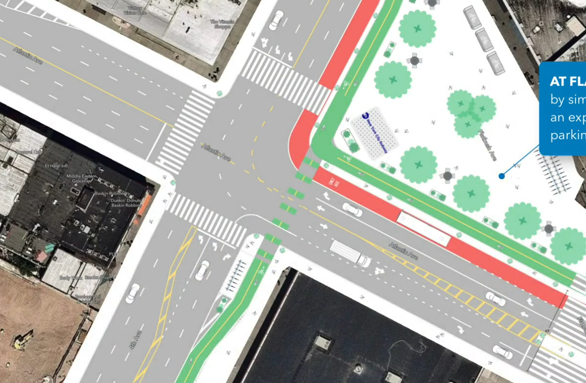
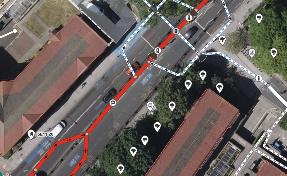
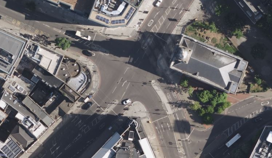
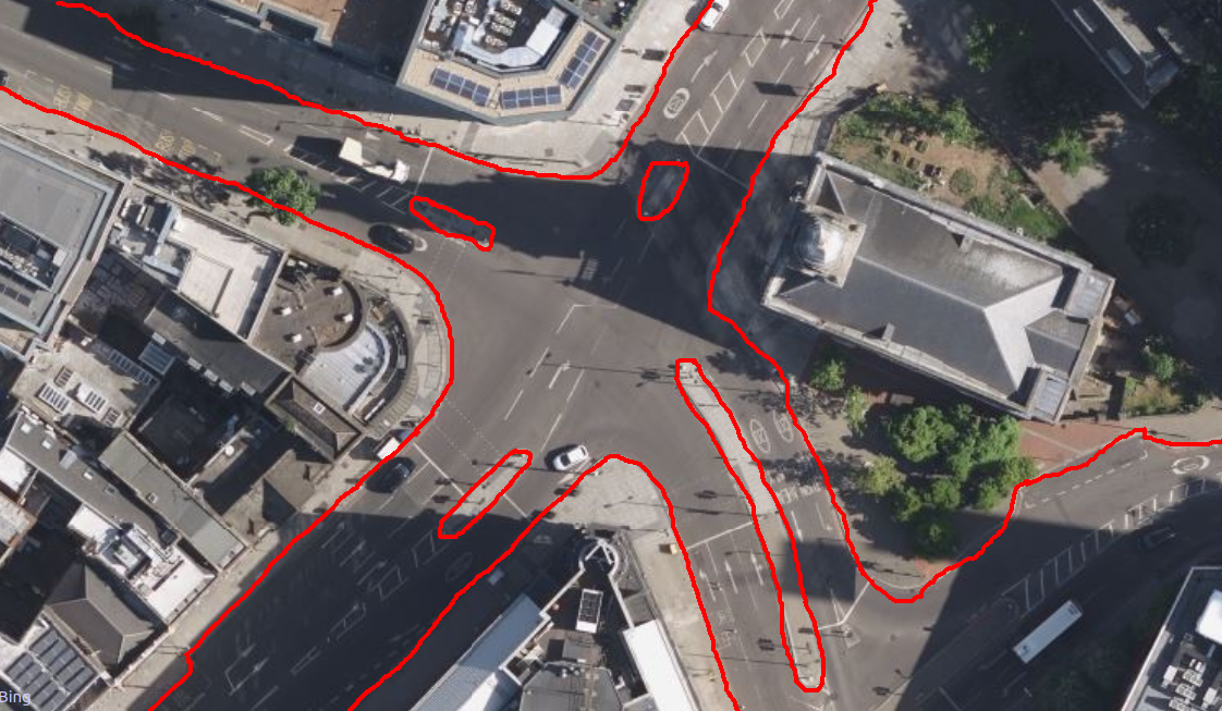
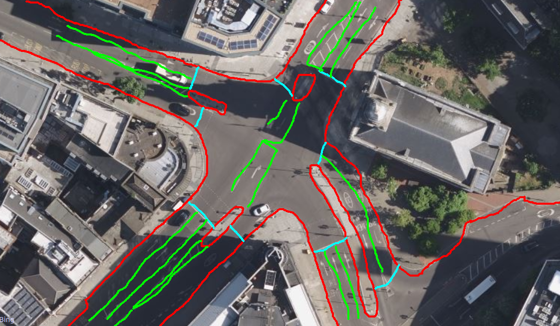
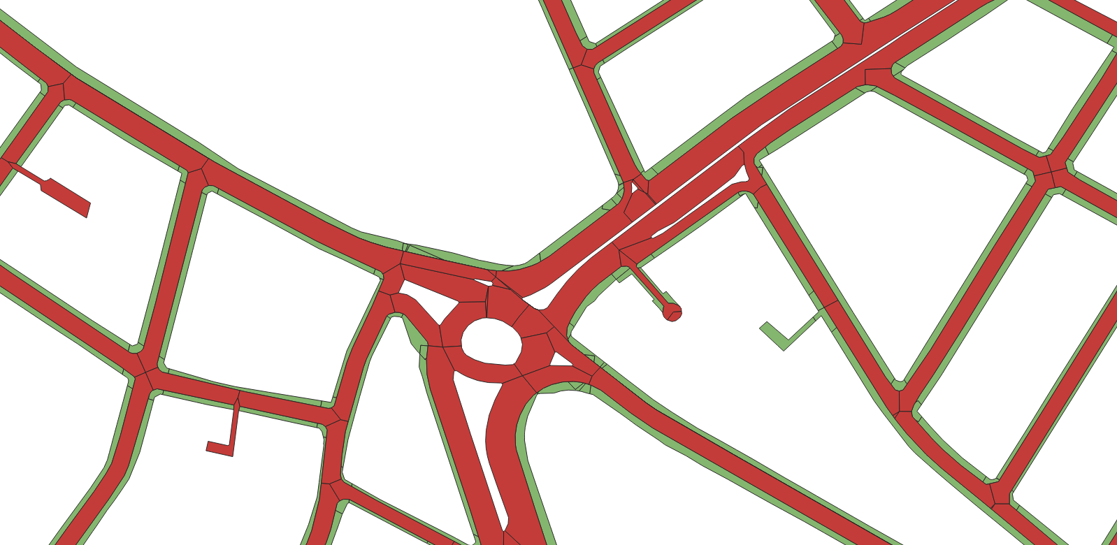
Complex junctions
https://www.openstreetmap.org/node/5220776402
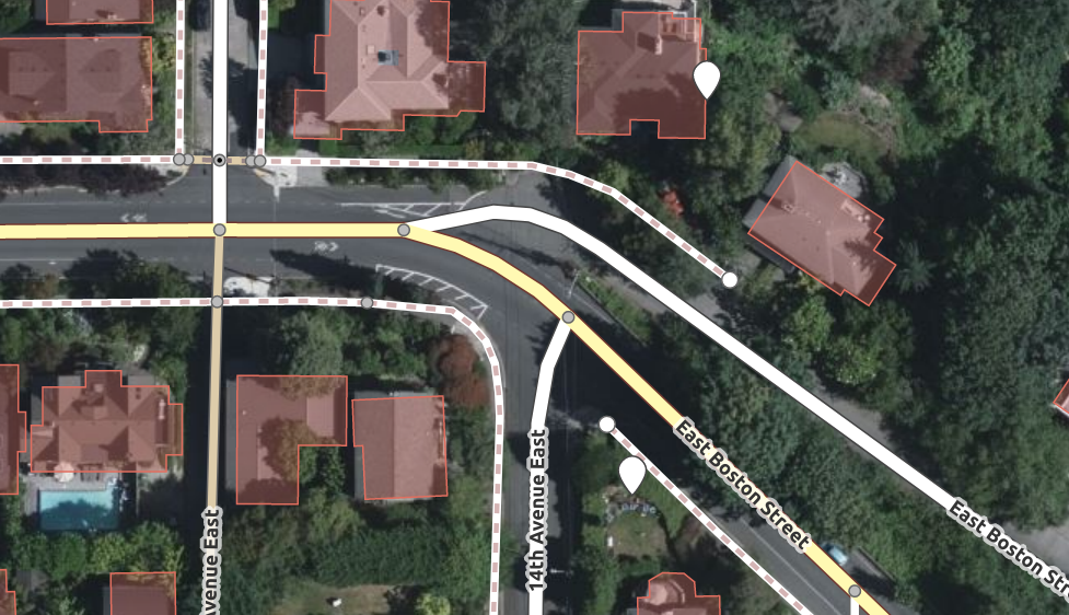
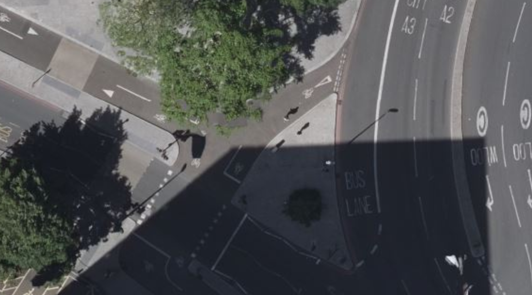
Bike lanes crossing a slip lane
https://www.openstreetmap.org/node/4694379084
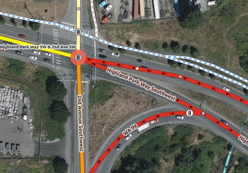
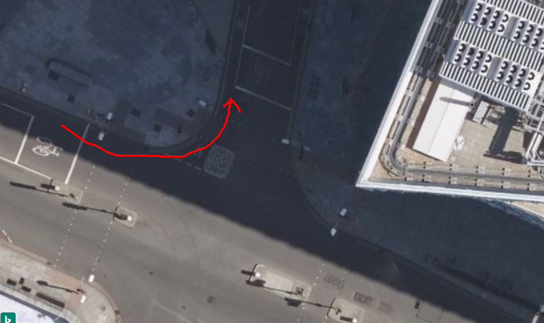
London’s weird bike infrastructure
Contraflow cycle entrances
https://www.openstreetmap.org/node/3194001392
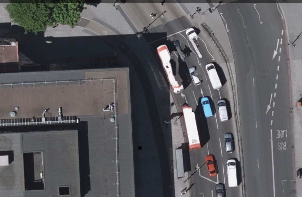
Crossing islands
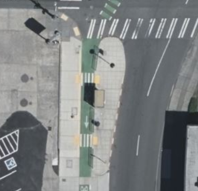
Pocket parking
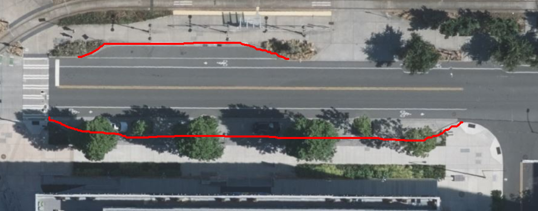
Bulb outs
Let’s just draw stuff
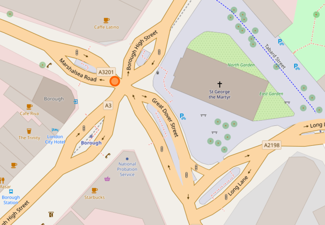
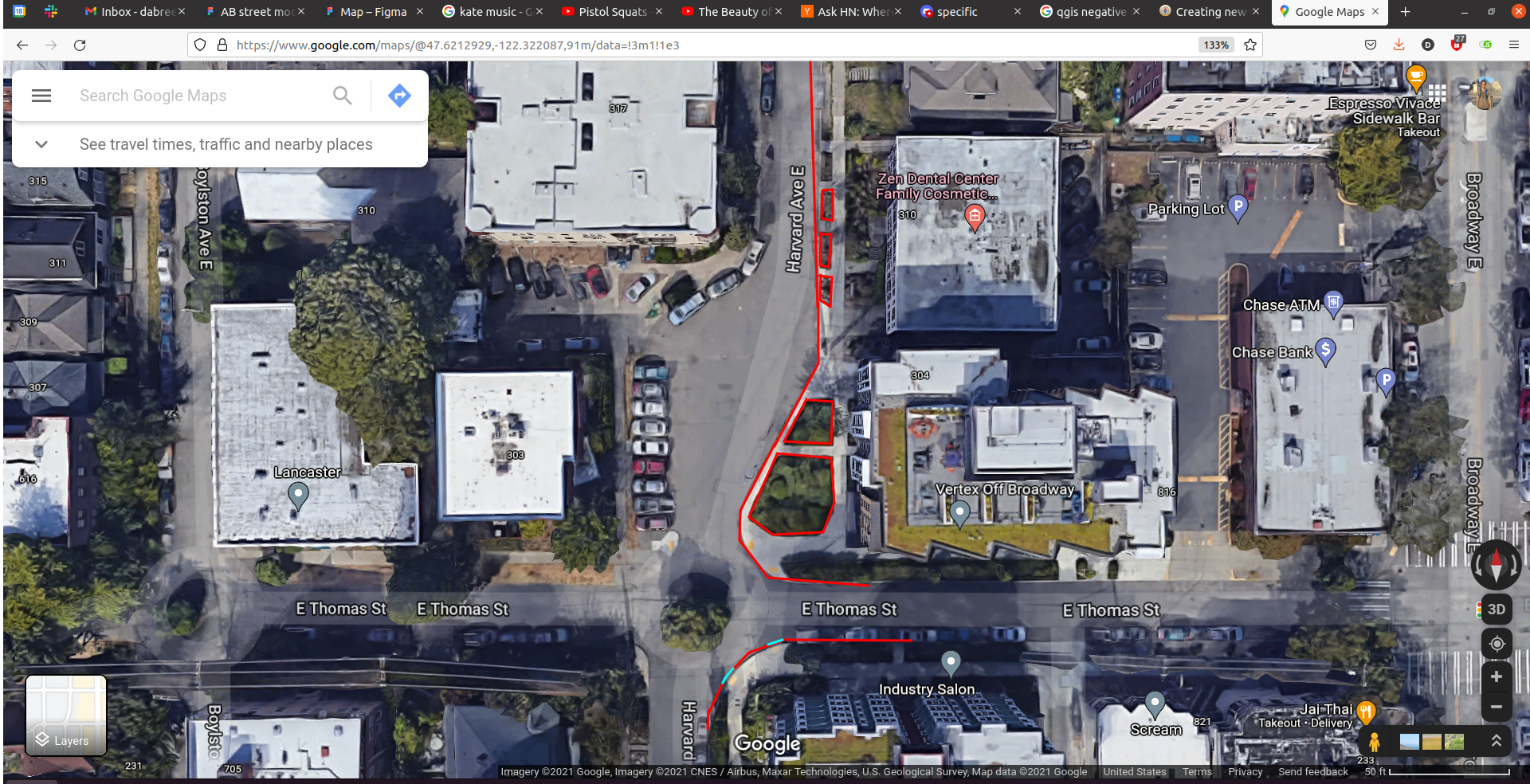
Borough station
Borough station
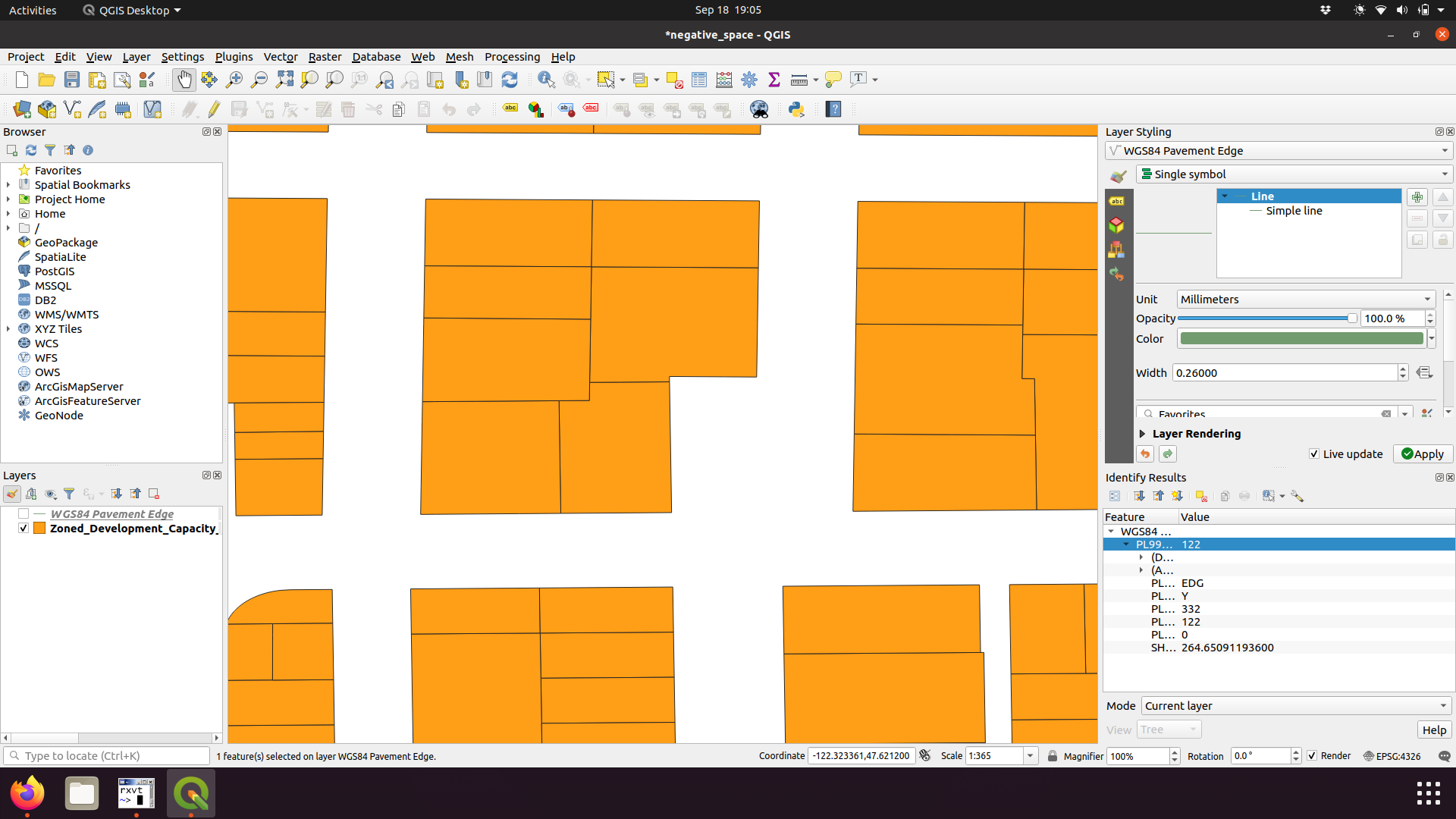
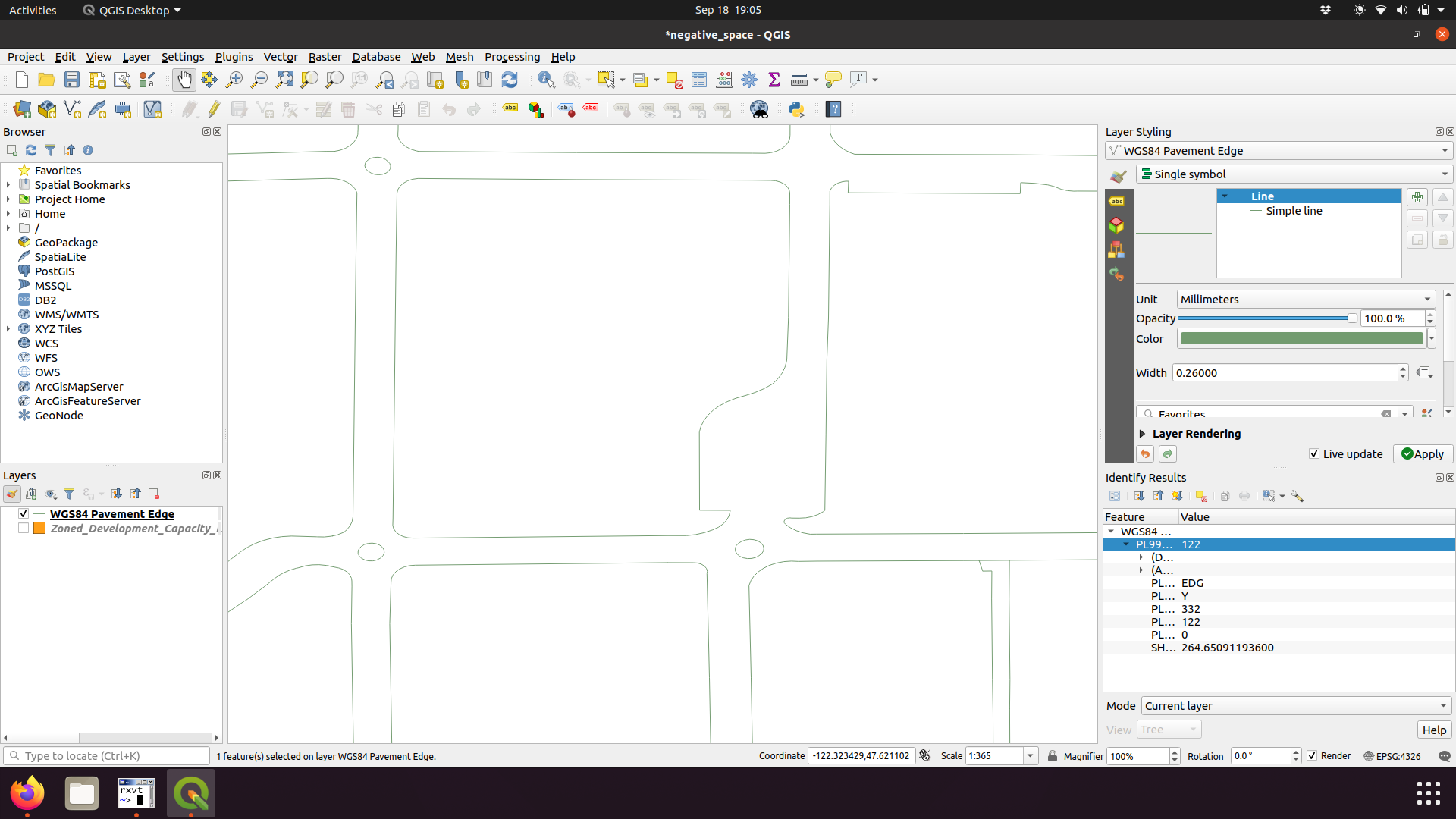
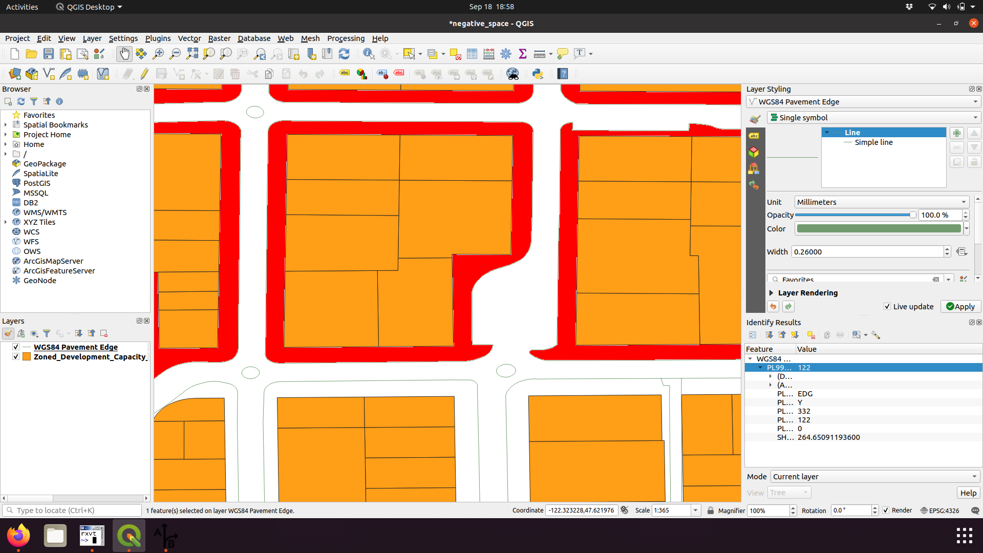
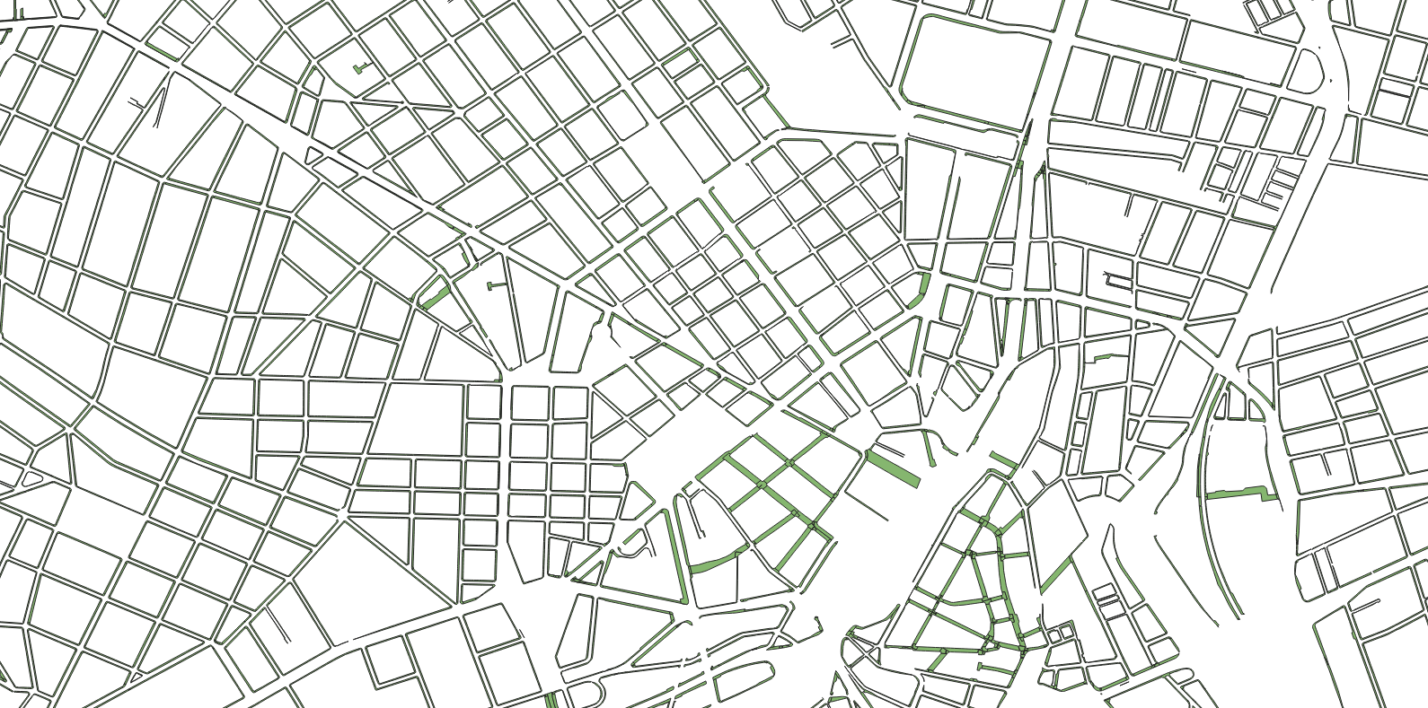
Subdivide space

Boundaries of adjacent polygons
What other data is sometimes available?
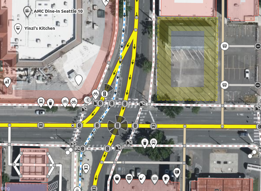
Seattle
Seattle
Seattle
London

São Paulo
- https://github.com/spstreets/OD2017/releases/download/1/sw.gpkg and https://github.com/spstreets/OD2017/releases/download/1/streets.gpkg
- Thanks to Lucas
São Paulo
São Paulo
Landuse polygons
https://www.openstreetmap.org/relation/1277566#map=17/51.47069/-2.52027
Conclusion
- My next step: turn https://a-b-street.github.io/docs/tech/map/geometry/index.html into a library, like osm2lanes
- Contact me: dabreegter@gmail.com
- These slides: https://dabreegster.github.io/talks/map_model_v2/slides.html
- Slides are on Github: https://github.com/dabreegster/talks